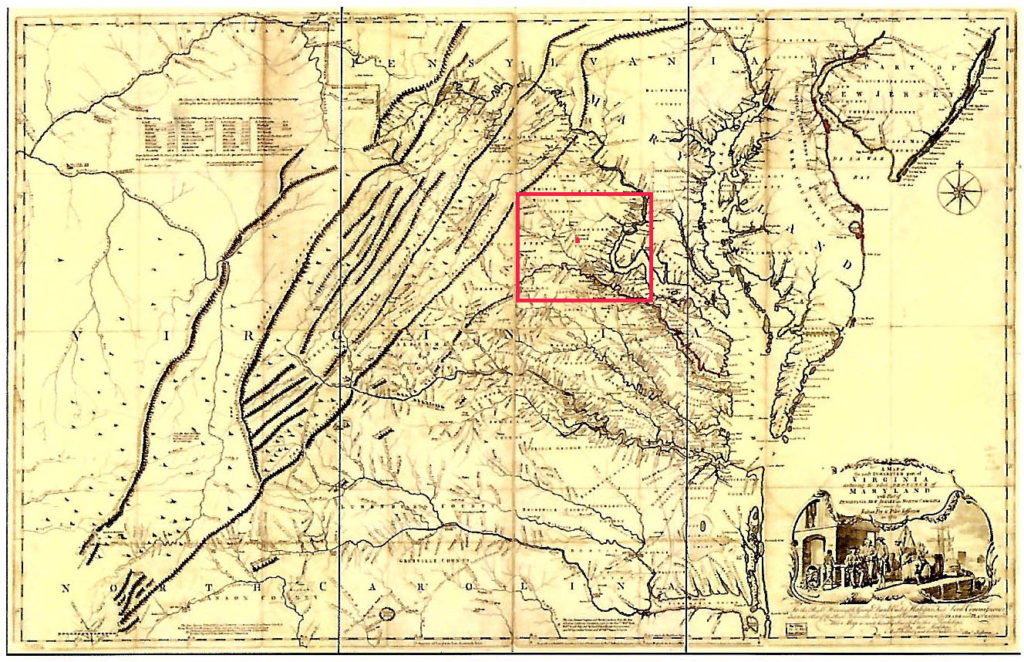
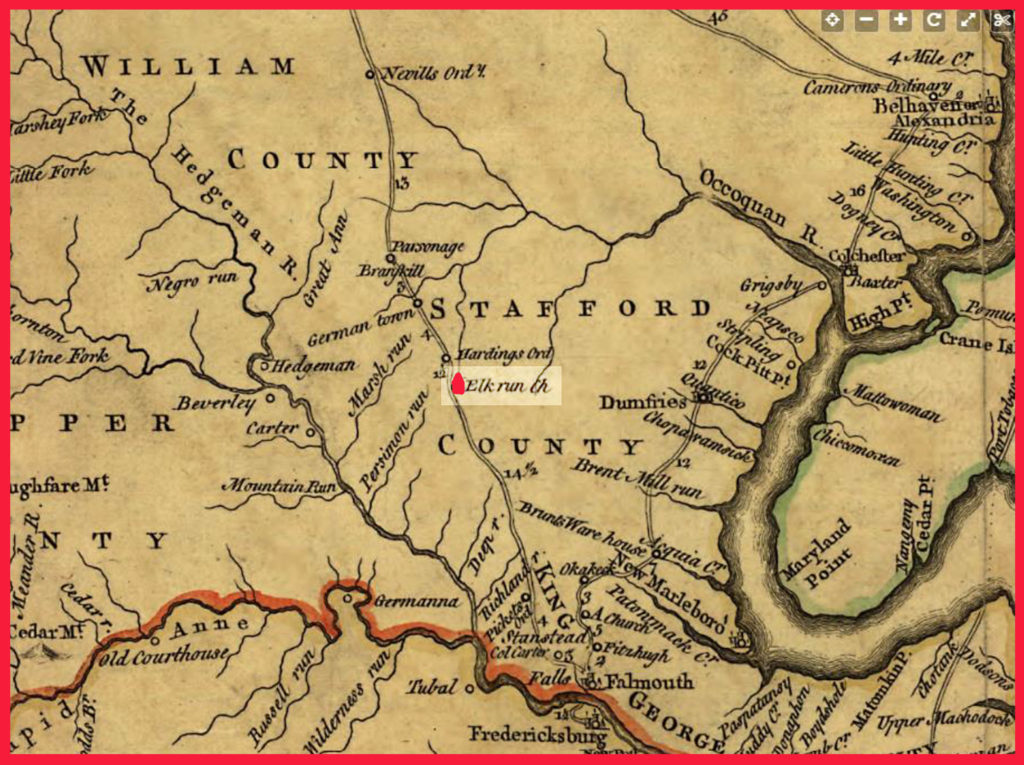
The Fry-Jefferson Map, first published in 1753 and again in 1755, was the first definitive map of Virginia in the 18th century. It clearly shows the important location of the Elk Run Church on the colonial frontier.


The Fry-Jefferson Map, first published in 1753 and again in 1755, was the first definitive map of Virginia in the 18th century. It clearly shows the important location of the Elk Run Church on the colonial frontier.

